
The North Chickamauga Creek Gorge is nine miles from our home and a work in progress. The powerful Creek is 32-miles long, a main tributary to the Tennessee River and cuts deeply through the sandstone of Walden’s Ridge. A hodgepodge of rough and tumble trails and former coal mining roads connect to 15-miles of the Cumberland Trail that wends through the pocket wilderness.
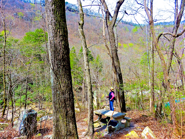
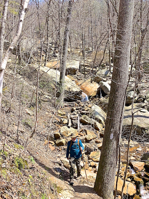
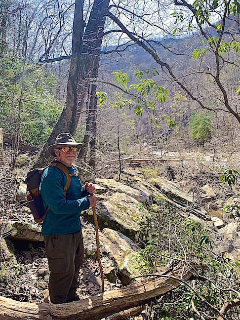
This hike started at the Montlake Road trailhead in Soddy-Daisy. We followed the boulder-strewn creek to a steep trail that climbed through the dense hardwood forest and continued just below the summit along an abandoned mining road.
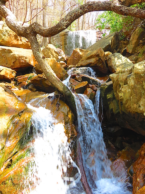
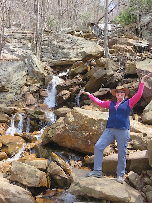
Upper Stripmine Falls plunges twenty feet, then hurtles over and around jagged rocks over 300 feet to the bottom of the gorge.
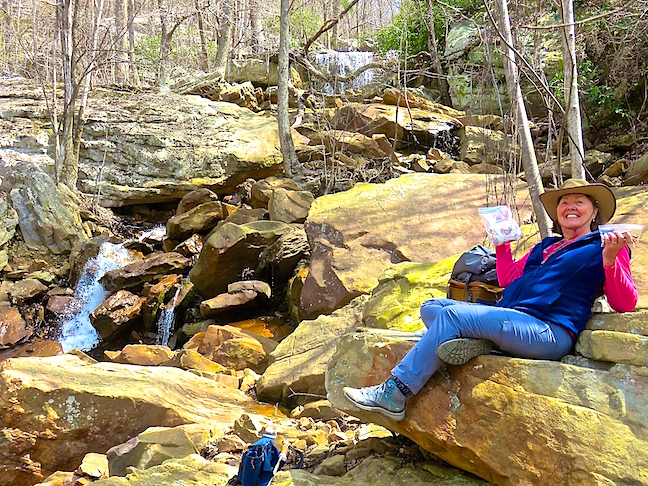
We settled in for lunch on a rock with a view of Stipmine falls. Recent rains made crossing the swollen creep a rock-hopping effort to remain dry.
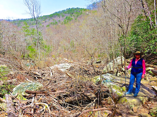
What we thought was a loop trail down the gorge, followed the creek running from Stripmine Falls.
The downhill trail we took from the falls dead-ended at Chickamauga Creek. We would have to backtrack up the way we came or bushwhack our way along the creek’s rocky shore.
The dense vegetation along the creek’s edge was still bare from winter, which made picking our way over ragged rocks, fallen trees and mounds of driftwood a little easier. I would not consider this route during snake season.
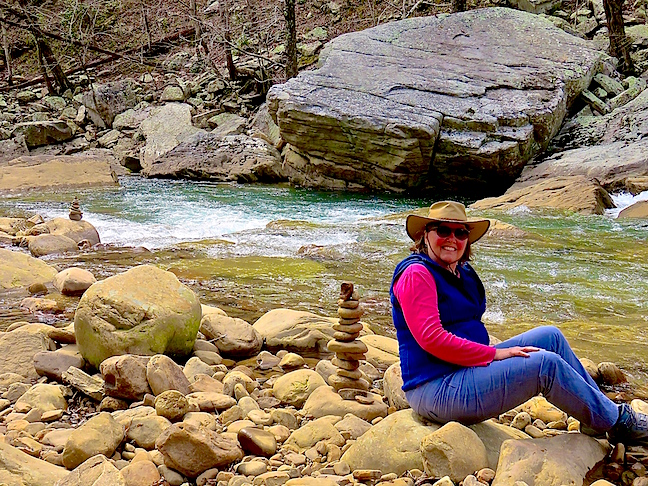
Karen created a balanced-rocks cairn where we emerged from our improvised trek along the creek.
North Chickamauga Creek Gorge has limited entry points and lots more to see. It’s 25-minutes from home, so we’ll be back to chase more falls.