

500 million years of erosion have pummeled the peaks that once reared up to 20,000 feet in the Uwharrie Mountains. Within this ancient range, located 50 miles east of Charlotte, NC, is Morrow Mountain State Park. The park’s second highest peak, at 936 feet above sea level, is Sugarloaf Mountain. Karen and I hiked Sugarloaf Sunday morning (6-14-20).
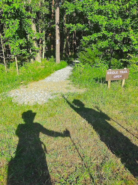
We parked in the Bridle Trail Lot and mistakenly started out on BridleTrail. A mile later, we backtracked to the parking lot and found the ankle-high sign pointing to the Sugarloaf Mountain Trail after the truck parked in front of it left.
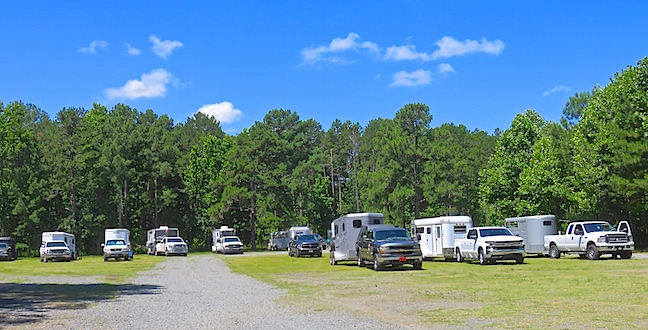
We were the third vehicle to arrive when we took off walking. The lot was rapidly filling with horse trailers when we returned after noon.
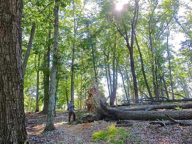
The north half of the 3-mile loop up Sugarloaf Mountain was steep with lots of loose, gravel-sized rocks. A controlled burn cleared all the lower vegetation, but some conservationists think removing the smaller plants weakens the soil and increases large-tree deadfalls during heavy rains.
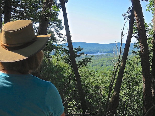
The Yadkin River, Uwharrie River and Pee Dee River come together to make Lake Tillery. Sugarloaf Mountain provides scenic views of the waterways from its summit.
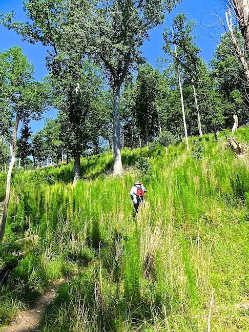
The southern portion of Sugarloaf’s loop trail was much steeper, narrower and crowded with more underbrush than the norther half.
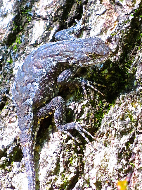
The pleasant 65-degree morning only warmed to 80 degrees by noon. This cold-blooded critter was almost invisible soaking up sun at the base of a scaly bark tree.
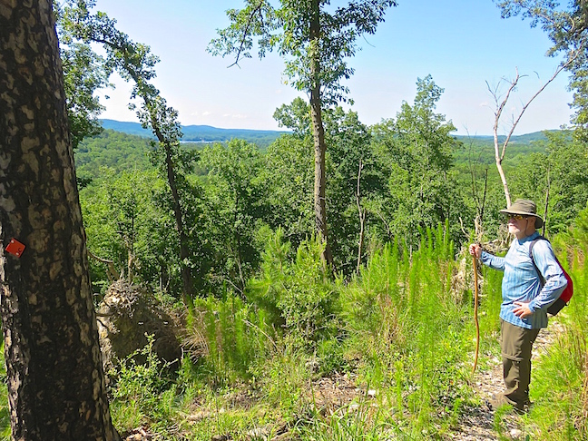
The Sugarloaf Mountain Trail is a strenuous march up and down steep slopes. The varied terrain, panoramic views and abundance of forest critters made this hike memorable.
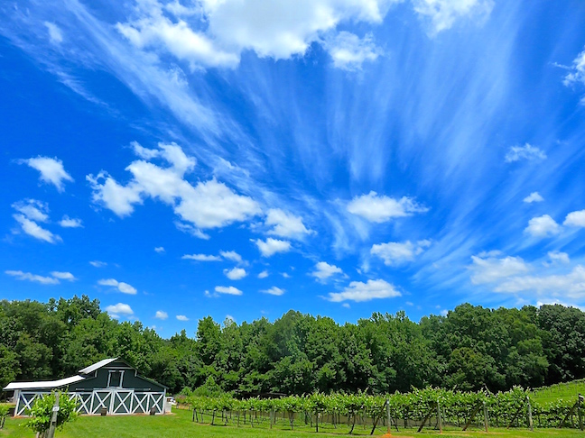
After a taxing morning of trudging around in the boonies, we stopped at Rocky River Vineyards on the way home. We sat on their outdoor patio and ate our picnic lunch with the best Wine Slushies in North Carolina. It put an exclamation point on a picture-perfect day!