
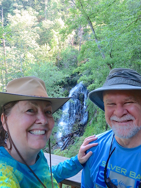
The Blue Ridge Mountains plummet into the Piedmont along the Blue Ridge Escarpment at the North Carolina-South Carolina border. Karen and I have developed a passion for hiking this magic terrain to view the hundreds of waterfalls that splash down its dramatic cliffs and gorges. The 2.5-hour drive from Charlotte sent us searching for a safe place to stay so we could explore the area for more than one day. We found a modular, two-bedroom cabin nestled in a meadow surrounded by dense forest at the end of a quarter-mile road. A retired military officer and his wife, who is a working RN, rent the place through Air B&B. It was cozy and spotless inside, with lots of antiseptic-wipes available throughout. The quiet refuge was our base for exploration just north of Pickens, SC, June 19-21, 2020.
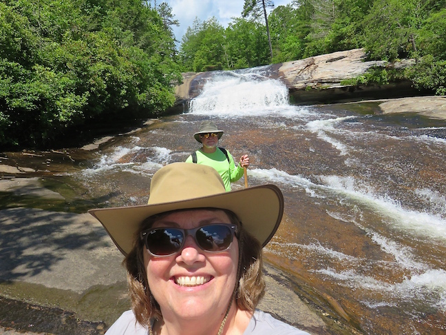
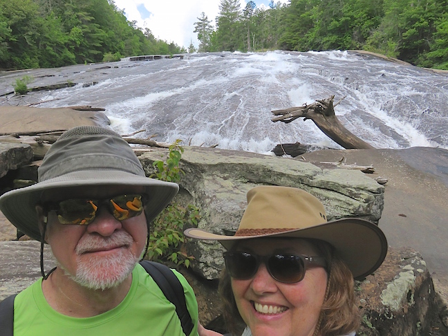
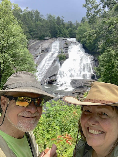
We stopped at the DuPont State Recreation Forest on the way to Pickens. We already visited three of the four major falls here, but Bridal Veil Falls was still on our list. The upper portion of the falls is short, then the rushing water cascades down a massive granite slab.
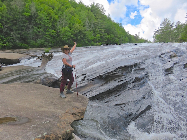
Further down, the water spreads across a giant bald and collects in a torrent that tumbles over huge boulders into a creek at the base.
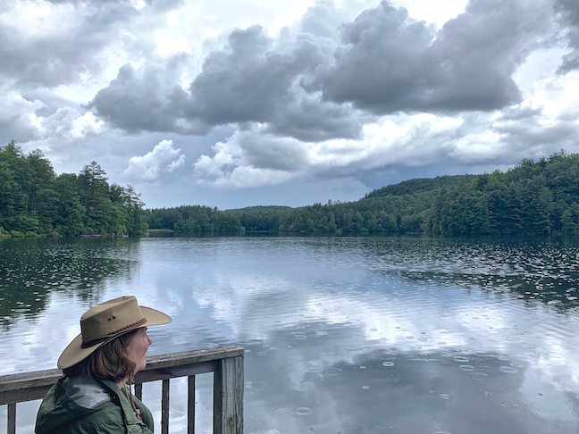
Most of the 3.5-mile hike to Bridal Veil Falls was on gravel roads. We detoured for a secluded lunch on the pier at Lake Julia on our walk back. Threatening rains held off until we left for the parking area.
The chilly showers subsided before we reached our vehicle. The sun peaked through a gap in the dark sky and encouraged a detour to High Falls lookout. It was an excellent window of opportunity.
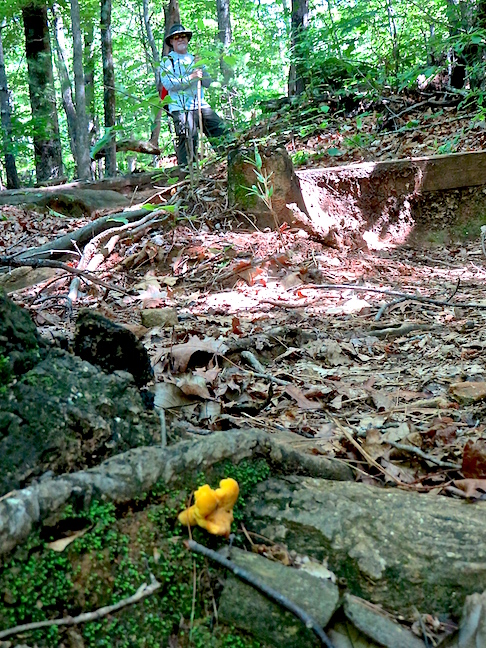
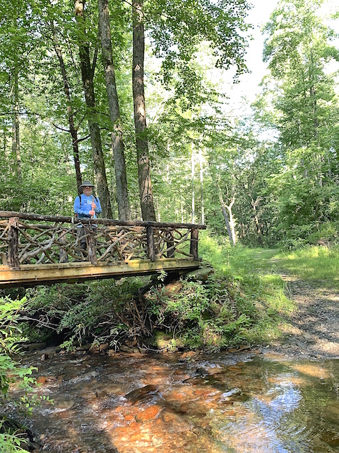
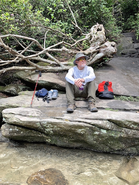
We were the third car in the huge Bad Creek Trailhead lot Saturday morning. The other folks were going fly fishing. The 3-mile hike to Lower Whitewater Falls was steep and precarious.
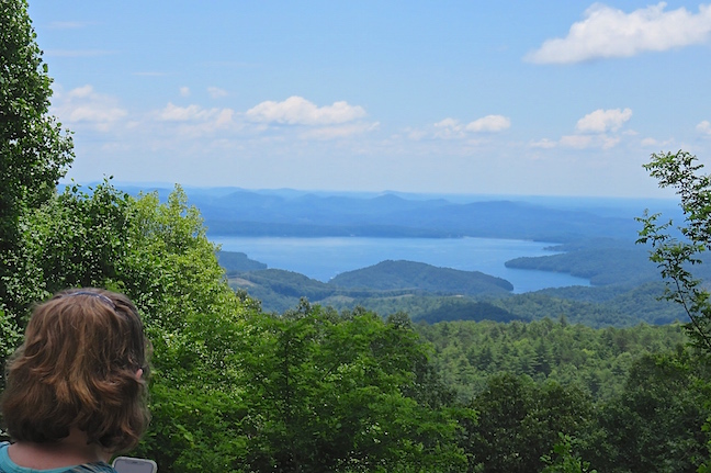
We had a magnificent view of Lake Jocassee at the halfway point.
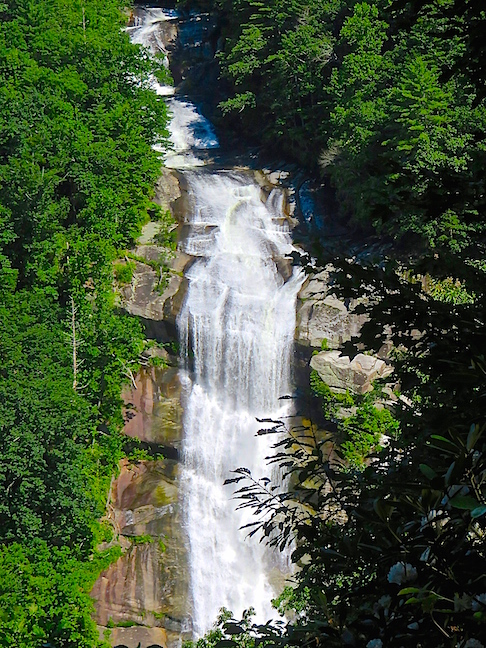
Lower Whitewater Falls drops over 200 feet. To get a good look, it has to be viewed from a distance. For the truly adventurous, 400-foot Upper Whitewater Falls adds another 5 miles, each way, to the hike. We viewed the upstream falls on a previous adventure. The 3.5-mile stretch of Whitewater River drops 1,500 feet between the falls.
We slept in on Sunday and were still the second couple to tackle the serpentine trail carved into the mountainside leading to Beach Bottom Falls at 9:00am.
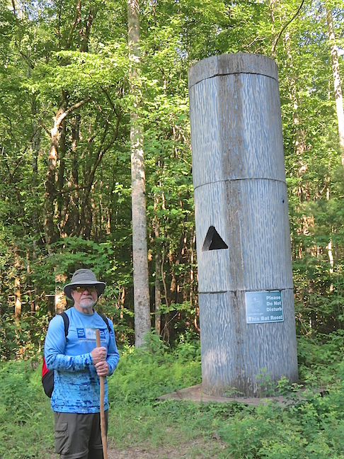
This was our first encounter with a man-made “Bat Roost.” Without the sign on the side, I would have no clue as to what it was.
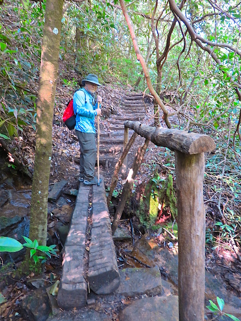
My hat’s off to the men and women of the SCDNR that built the cool bridges and notched the steps into the mushy and precipitous side of the gorge leading to Beach Bottom Falls.
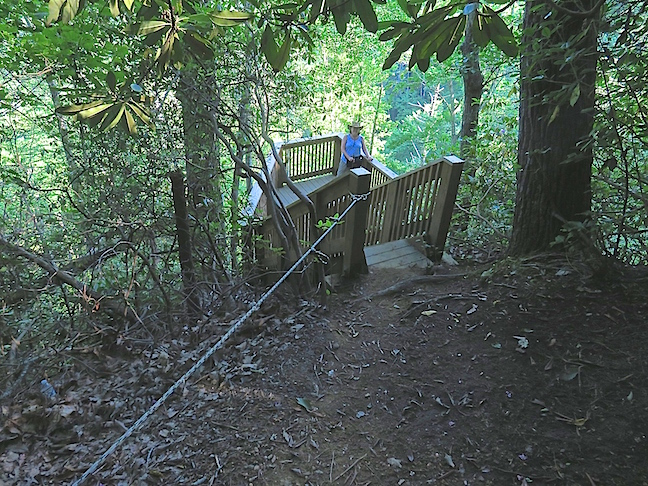
The soft soil and thick vegetation on this narrow trail would be even more perilous when muddy. The hand rope on the last bit of slick soil to the platform was a godsend.
The 150-foot Beach Bottom Falls is in a wildly remote and heavily wooded area. The viewing platform is as close as you can get to it, without doing some seriously, technical bushwhacking.
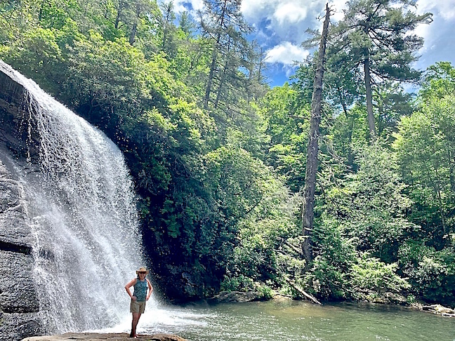
We ate lunch at nearby Silver Run Falls. This 40-foot beauty plunged into a sandy pool and created its own air-conditioned breeze in the tight circle of trees surrounding it.
There were so many flecks of pyrite in the rocks around the pool and sand on its bottom, it looked like pixies dusted the place with tons of “Fools Gold” glitter. The sandy bottom turned golden in the sunlight, creating a magical illusion.
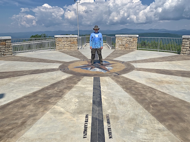
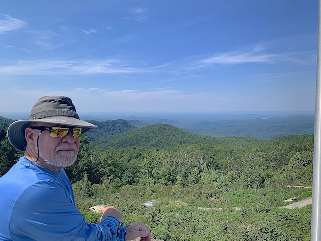
Our last stop before heading back to Charlotte was the Lookout Tower on top of Sassafras Mountain. I’m straddling the border between North Carolina and South Carolina on the highest peak in South Carolina.
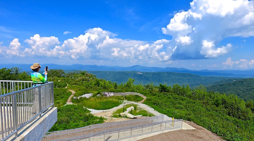
The majesty of the 180-degree view of mountains in North Carolina, South Carolina, Georgia and Tennessee from 3,563-feet above sea level was impossible to fully capture with mere cameras.
We saw so many beautiful sights in this area, it’s hard to believe we only experienced a small part of it. What a treat to end this adventure, “On top of the world!”